


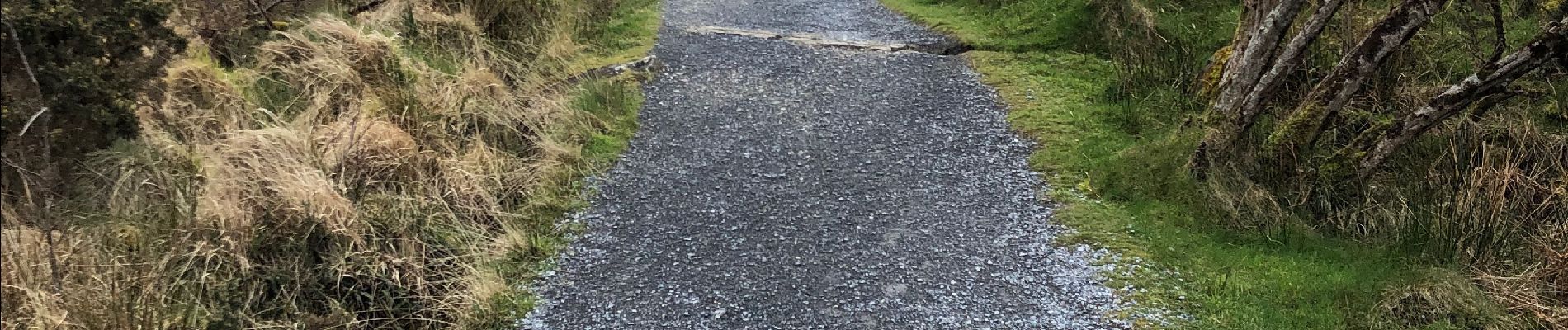
Connemara national park

domifon
User
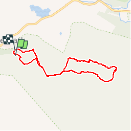

Length
7.3 km
Boucle
Yes
Creation date :
2019-03-24 10:40:00.0
Updated on :
2019-03-24 13:11:50.838
2h29
Difficulty : Difficult

FREE GPS app for hiking
 SityTrail
IGN / Geographical institutes
SityTrail Plus
The world is yours!
About
Trail Walking of 7.3 km to be discovered at Unknown, County Galway, Conamara Municipal District. This trail is proposed by domifon.
Description
Exceptionnel
Photos


Positioning
Country:
Ireland
Region :
Unknown
Department/Province :
County Galway
Municipality :
Conamara Municipal District
Location:
Ballynakill Electoral Division
Start:(Dec)
Start:(UTM)
437403 ; 5933918 (29U) N.
Comments